The Dusty Maps in Your County Courthouse Know Things Google Earth Never Will
Pull up your hometown on Google Maps and you'll see roads, buildings, maybe a park or two. Zoom in and you'll get satellite imagery sharp enough to count the cars in a parking lot. It's impressive, and it tells you almost nothing about what was actually there before.
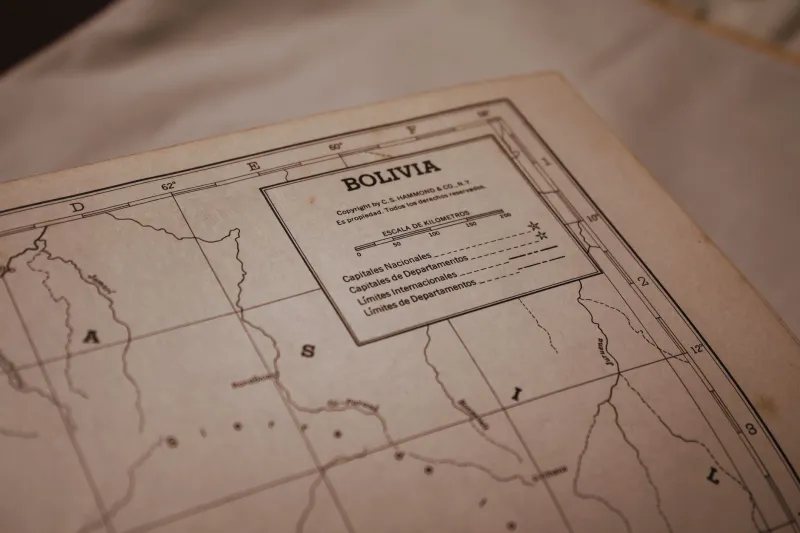
Now imagine a different kind of map — hand-drawn in ink on linen, annotated in pencil by someone who walked every property line themselves. A map that shows not just where the roads were, but what was on them: the tannery that operated from 1867 to 1891, the African American neighborhood that got erased when the highway came through, the creek that was rerouted so a mill owner could expand his operation. A map that carries, in its margins and corrections and crossed-out names, the actual history of a place.
That map probably exists. It's almost certainly sitting in your county courthouse basement right now. And there's a reasonable chance nobody's looked at it in decades.
What's Actually Down There
County courthouses across the United States hold some of the most underexplored historical archives in the country. Property deed books, plat maps, land survey records, tax assessment rolls — these documents were created to serve legal and administrative purposes, and that's exactly how they've been treated ever since. They're stored, they're technically accessible, and they're almost entirely ignored by anyone who isn't a title lawyer or a genealogist.
But what they contain goes far beyond property lines.
Hand-drawn plat maps from the 19th and early 20th centuries are particularly rich. Surveyors of that era annotated their work extensively — noting landmarks, natural features, existing structures, and even the names of neighboring landowners. The result is a kind of snapshot document that captures a community at a specific moment in time, with a level of local detail that no other source can match.
"These maps are primary sources in the truest sense," says one historical geographer who has spent years working with courthouse archives in the mid-Atlantic region. "They weren't created for posterity. They were created because someone needed to record exactly what was where. That makes them incredibly honest documents."
Honest, and often surprising. Researchers who dig into these collections regularly turn up evidence of things that have been completely forgotten at the community level — industrial operations that employed hundreds of people and left no other trace, settlement patterns that contradict the official story of how a town grew, property boundaries that reveal the shape of now-vanished neighborhoods.
The Lost Neighborhoods Nobody Talks About
One of the most significant things these maps can reveal is the geography of communities that were deliberately erased.
In cities and towns across the South and Midwest, urban renewal projects of the 1950s and 60s demolished entire Black neighborhoods — often thriving commercial and residential districts — to make way for highways, civic centers, and parking lots. The official record of these neighborhoods is often thin: a few photographs, some newspaper coverage, oral histories if anyone bothered to collect them.
But the courthouse maps don't lie. Property records from before the demolitions show exactly where these neighborhoods were, who owned what, how dense the development was, and what kinds of businesses operated there. In several cities, local historians have used courthouse archives to reconstruct detailed pictures of neighborhoods that were living communities within living memory — and that have been almost entirely absent from the official local history.
Similar stories apply to industrial history. The small-scale manufacturing that characterized American towns before the mid-20th century left surprisingly few traces in public memory, but property maps frequently show mill sites, factory lots, kiln locations, and industrial infrastructure that has since been built over or demolished. Following these traces can fundamentally change your understanding of how a local economy actually functioned.
Why Almost Nobody's Looking
The barriers to accessing these archives are partly logistical and partly cultural.
On the logistical side, courthouse records are often poorly indexed, inconsistently organized, and stored in conditions that range from adequate to genuinely alarming. Many counties have never fully cataloged what they hold. A researcher trying to find plat maps from a specific period might spend hours just figuring out where to look — and the staff, who are there to process legal transactions, not assist historians, may not know either.
On the cultural side, these archives sit in a strange gap between professional historical research and popular interest. Academic historians often focus on state and national archives. Local history enthusiasts tend to gravitate toward the more accessible resources — old photographs, newspaper archives, published county histories — that don't require navigating bureaucratic filing systems.
The result is that an extraordinary volume of primary source material is sitting largely untouched, in buildings that are open to the public, in towns where people would genuinely be fascinated by what's inside.
The Volunteers Racing to Preserve It
In Lancaster County, Pennsylvania, a volunteer group called the Lancaster Historical Mapping Project has spent the last four years digitizing plat maps and deed records from the county courthouse, creating a publicly searchable archive that's already turned up several significant discoveries — including the documented location of a pre-Civil War free Black community that had been identified only vaguely in previous local histories.
In Buncombe County, North Carolina, a collaboration between the county register of deeds and a local university has produced a digitized collection of 19th-century survey maps that researchers are now using to trace how Asheville's neighborhoods developed and changed over more than a century.
These projects face a common challenge: the physical documents are fragile, and the funding for preservation work is inconsistent. Several archivists have noted that paper records from the late 1800s are often in better condition than documents from the mid-20th century, when cheaper paper and acidic inks were common. Without active preservation efforts, some of these records will simply deteriorate beyond recovery.
Your Town's History Is Probably Waiting
You don't need a research grant or a history degree to start looking. Most county courthouses allow public access to their deed and plat records, and many register of deeds offices are surprisingly helpful once you explain what you're looking for.
Bring a notebook, some patience, and a willingness to follow threads that don't go anywhere obvious at first. The maps that tell the most interesting stories are usually the ones that look the most mundane — a property transfer, a survey correction, a boundary dispute from 1884.
Somewhere in those corrections and annotations is the actual story of your town. And the remarkable thing is, it's just sitting there, waiting for someone curious enough to come look.