A French-Canadian Fur Trader Drew America Before America Knew It Existed — and History Basically Forgot Him
A French-Canadian Fur Trader Drew America Before America Knew It Existed — and History Basically Forgot Him
Everyone knows the story of Lewis and Clark. The epic journey. The notebooks. Sacagawea. It's one of those foundation myths of American exploration that gets taught in every third-grade classroom and retold in every Ken Burns documentary.
But here's the thing about foundation myths: they tend to erase everything that came before them.
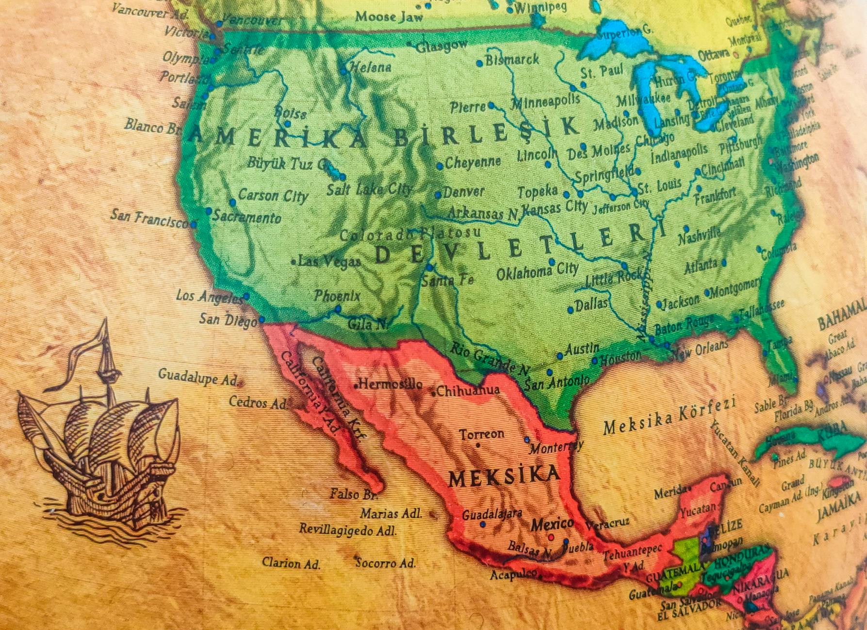
More than a century before Meriwether Lewis dipped a paddle into the Missouri River, a French-Canadian cartographer named Jean-Baptiste Louis Franquelin was producing hand-drawn maps of the American interior that were, by the standards of his era, almost absurdly accurate. The Mississippi River system. The Great Lakes. The rough outline of the continent's central geography. He got the bones of it right — working from canoe expeditions, fur trader testimonies, and Indigenous geographic knowledge — at a time when most European maps of North America were little more than educated guesswork decorated with sea monsters.
Franquelin's maps sat in French colonial archives for the better part of three centuries, largely unknown outside a narrow circle of academic specialists. That's starting to change.
Who Was Franquelin, Exactly?
Franquelin arrived in New France — what is now Quebec — sometime around 1672, likely in his early twenties. He wasn't a trained geographer in the formal European sense. He was, by various accounts, a merchant, a teacher, and an extraordinarily observant person who happened to be living at the edge of a continent that Europeans were only beginning to understand.
What set him apart was his method. Rather than drawing maps from a desk in Paris based on secondhand reports, Franquelin worked from primary sources — traveling extensively himself and, critically, conducting systematic interviews with fur traders and Indigenous guides who had direct knowledge of the interior. He understood that the people who actually moved through this landscape knew things that no European expedition had yet documented.
By the 1680s, he had been appointed the official hydrographer of New France — essentially the colony's chief mapmaker — and was producing work that stunned contemporaries who saw it. His 1684 map of North America, in particular, is considered by historians who have studied it closely to be one of the most sophisticated cartographic achievements of the seventeenth century.
What He Got Right — and How
The accuracy of Franquelin's maps is the detail that stops modern cartographic historians cold. Without satellite data, without systematic surveying technology, without even the reliable longitude measurements that would only become possible after the development of accurate marine chronometers decades later, Franquelin produced a rendering of the Mississippi River system that correctly captured its general course, its major tributaries, and its relationship to the Great Lakes drainage basin.
He correctly identified that the Mississippi ran south to the Gulf of Mexico at a time when competing European maps still showed it emptying into the Pacific or into some vaguely imagined western sea. He mapped the Illinois River, the Ohio River corridor, and the rough geography of the Great Plains interior with a coherence that wouldn't be matched by official cartography for generations.
The methodology, historians now believe, was the key. Franquelin was synthesizing Indigenous geographic knowledge with extraordinary care — treating his Native informants not as colorful local sources to be loosely interpreted, but as primary authorities on the landscape. In an era when European cartographers routinely distorted or dismissed non-European geographic knowledge, this approach was genuinely unusual.
The Archives Problem
So why doesn't anyone know this man's name?
The short answer is access. When New France fell to the British in 1763, the colonial archives — including Franquelin's maps — were dispersed, partially relocated to France, and largely inaccessible to the English-speaking scholarly world that would go on to write the dominant history of North American exploration.
Franquelin himself died sometime around 1712 or 1718 — the records are unclear — in circumstances that suggest his later life was difficult. His maps didn't travel with the mythology of a great expedition. There was no bestselling journal, no presidential commission, no portrait in the Capitol Rotunda.
For centuries, his work sat in repositories in Paris and Quebec, consulted occasionally by specialists but never entering the popular historical consciousness. Lewis and Clark, arriving a hundred years later with a government mandate and a gift for narrative documentation, became the story of American cartographic discovery. Franquelin became a footnote, if that.
The Digitization Project Changing the Conversation
In recent years, a quiet but significant effort has been underway to digitize and re-examine the French colonial cartographic archive. Institutions including the Bibliothèque nationale de France and various North American university libraries have been working to make high-resolution scans of documents like Franquelin's maps publicly accessible for the first time.
The effect on the scholarly conversation has been notable. Historians of early North America who can now examine Franquelin's maps in detail — comparing them against modern geographic data with digital overlay tools — have been consistently surprised by what they find. The accuracy isn't perfect, but it's far beyond what the available technology should have been able to produce.
Some researchers have begun arguing that Franquelin deserves recognition not just as a footnote in the history of New France, but as a figure who fundamentally shaped how Europeans understood the North American continent — laying geographic groundwork that informed French colonial strategy, Indigenous trade relationships, and ultimately the territorial negotiations that would determine the shape of the United States itself.
Who Gets Credit for Drawing a Continent?
The Franquelin story raises a question that goes beyond one man's biography: how do we decide who gets credit for discovery?
Lewis and Clark documented magnificently. They wrote everything down, produced detailed journals, and reported back to a government that was ready to act on what they found. Franquelin worked earlier, arguably more accurately in some respects, and in a political context that ultimately lost — France ceding its North American empire to Britain and Spain within decades of his death.
History, it turns out, tends to remember the winners. And the people who wrote things down in the right language, at the right moment, for the right audience.
Franquelin wrote things down too. His maps are still there, increasingly visible, waiting for the wider audience they probably deserved all along.