Before GPS, Japanese Mountain Travelers Memorized the Land Itself — and Hikers Are Learning How Again
Before GPS, Japanese Mountain Travelers Memorized the Land Itself — and Hikers Are Learning How Again
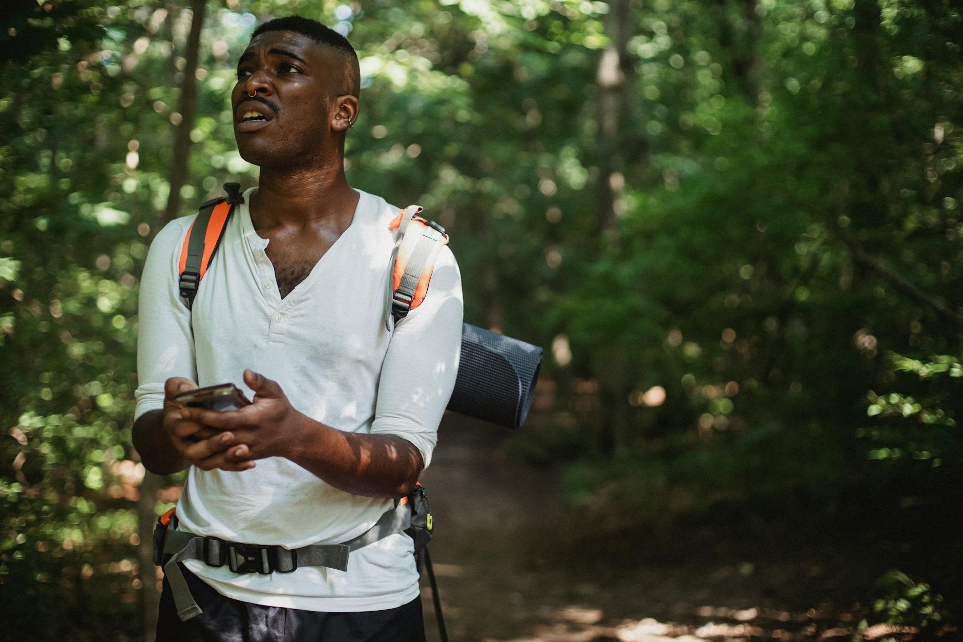
Here's a scenario worth sitting with: your phone is dead, the trail markers are gone, and the weather has closed in. What do you actually know about where you are?
For most of us, the honest answer is: not much. We've outsourced our spatial awareness so completely to devices that the raw skill of reading a landscape — really reading it, the way people had to for centuries — has quietly atrophied. We know how to follow a blue dot. We don't always know how to follow a ridge.
In Japan's mountain culture, there's a name for the kind of deep terrain awareness that made navigation possible before any of that technology existed. It's called Kanzen Kioku, and while the term translates roughly to "complete memory" or "perfect recall," the practice is less about memorization in the academic sense and more about training yourself to absorb a landscape through all your senses simultaneously — and reconstruct it accurately when you need to.
A small but serious community of American backcountry hikers and survival instructors has started paying close attention to it. What they're finding is that it doesn't just build navigation skills. It changes how you experience being outside entirely.
What Kanzen Kioku Actually Is
The practice developed organically over centuries among Japanese mountain travelers — pilgrims, hunters, and traders who regularly moved through terrain that was genuinely unforgiving. The Japanese Alps don't offer a lot of margin for error. Routes through high passes could close in minutes. Knowing where you were, and how you'd gotten there, wasn't a hobby skill. It was survival infrastructure.
Kanzen Kioku as a navigation framework operates on a core principle: the land is always telling you where you are. You just have to learn to listen to the right signals.
Practitioners trained themselves to track and mentally log a specific set of environmental cues as they moved:
- Slope angle and direction — which way is the ground tilting, and how steeply?
- Wind patterns — prevailing direction, how it shifts around terrain features
- Vegetation cues — moss growth patterns (typically heavier on north-facing surfaces), tree lean, canopy density changes
- Water behavior — the sound and direction of streams, how drainage patterns indicate elevation changes
- Light quality — the angle and color of sunlight as a time and directional marker
None of these cues are revolutionary in isolation. What makes the technique distinct is the systematic, deliberate practice of noticing them simultaneously and building a running mental model of the terrain — essentially a live internal map that updates as you move.
Why It's Quietly Coming Back
The revival, such as it is, isn't happening through any official channel. It's showing up in wilderness survival courses, backcountry hiking communities, and among a loose network of instructors who've encountered the framework and started adapting it for American trail conditions.
The argument these instructors make isn't anti-technology — it's more nuanced than that. GPS is excellent at telling you where you are. It's less good at teaching you to understand where you are. Those are different things, and the gap between them matters more than most people realize until they're in a situation where the device fails.
There's also a cognitive dimension that practitioners consistently mention. Training spatial awareness through sensory observation appears to build a kind of attentiveness that carries over into other areas of outdoor skill — reading weather, identifying hazards, moving more efficiently through varied terrain. The navigation practice is almost a side effect of a broader shift in how you pay attention.
How to Start Practicing It — Right Now
The good news is that Kanzen Kioku doesn't require a backcountry expedition to begin learning. The foundational habits can be built on any trail walk, including the ones you're already taking.
Start with one cue. Don't try to track everything at once. On your next hike, pick a single variable — slope direction, say, or wind — and make a conscious effort to note it every few minutes. Where is the ground sloping? Which way is the wind coming from? Just build the habit of asking.
Do the turnaround test. At a natural stopping point, turn around and look back at where you came from. Notice how different the terrain looks from this direction. This simple exercise builds the mental flexibility to reconstruct a route from multiple orientations — a key skill in the Kanzen Kioku framework.
Narrate your route mentally. As you walk, describe your path in simple terms: "descending northeast, stream on my left, wind coming from the right." This verbal encoding helps consolidate spatial information in memory more effectively than passive observation.
Check the moss. Seriously. In the Northern Hemisphere, moss tends to grow more densely on north-facing surfaces — the shaded sides of rocks and tree trunks. It's not infallible, but it's a real signal, and noticing it consistently starts to wire in a directional instinct that's surprisingly reliable.
Leave the earbuds out. Sound is a navigation tool. The direction of running water, the way wind sounds different on open ridgelines versus in tree cover — these are all data. You can't log them if you're listening to a podcast.
The Thing a Smartphone Can't Build
There's a phrase that comes up in conversations with instructors who teach these methods: embodied navigation. The idea that spatial awareness isn't just cognitive — it's physical. It lives in the body's accumulated experience of moving through terrain, not in a database.
A phone knows where you are. Kanzen Kioku, practiced over time, makes you someone who knows where you are. The difference is subtle until it isn't.
You don't have to ditch the GPS app. But the next time you're on a trail, try putting it away for thirty minutes and just reading the land. You might be surprised how much it's already saying.